


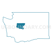
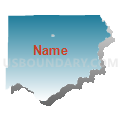
Stevens Voting District, King County, Washington
About
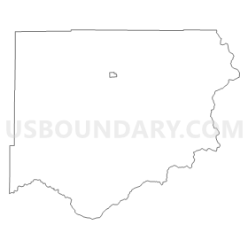
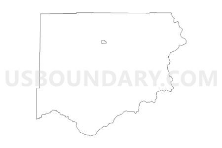
Outline
Summary
| Unique Area Identifier | 686773 |
| Name | Stevens Voting District |
| County | King County |
| State | Washington |
| Area (square miles) | 375.22 |
| Land Area (square miles) | 368.94 |
| Water Area (square miles) | 6.28 |
| % of Land Area | 98.33 |
| % of Water Area | 1.67 |
| Latitude of the Internal Point | 47.62108910 |
| Longtitude of the Internal Point | -121.32632130 |
Maps

Graphs
Select a template below for downloading or customizing gragh for Stevens Voting District, King County, Washington


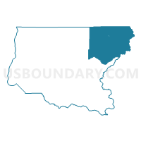
Neighbors
Neighoring Voting District (by Name) Neighboring Voting District on the Map
- Voting District 116, Chelan County, WA
- Voting District 126, Chelan County, WA
- Kachess Voting District, Kittitas County, WA
- Lake Joy Voting District, King County, WA
- Mountain Voting District, Kittitas County, WA
- Olney Voting District, Snohomish County, WA
- SKY 39-1091 Voting District, King County, WA
- Skykomish Voting District, Snohomish County, WA
- Sno Pass Voting District, King County, WA
- Twin Peaks Voting District, King County, WA
Top 10 Neighboring County Subdivision (by Population) Neighboring County Subdivision on the Map
- Snoqualmie Valley CCD, King County, WA (48,362)
- Sultan CCD, Snohomish County, WA (14,286)
- Cle Elum CCD, Kittitas County, WA (6,339)
- Leavenworth-Lake Wenatchee CCD, Chelan County, WA (6,251)
Top 10 Neighboring Place (by Population) Neighboring Place on the Map
Top 10 Neighboring Unified School District (by Population) Neighboring Unified School District on the Map
- Snoqualmie Valley School District, WA (35,054)
- Riverview School District, WA (19,315)
- Sultan School District, WA (13,130)
- Cascade School District, WA (9,560)
- Easton School District, WA (1,134)
- Skykomish School District, WA (627)
- Index School District, WA (526)
Top 10 Neighboring State Legislative District Lower Chamber (by Population) Neighboring State Legislative District Lower Chamber on the Map
- State House District 5, WA (161,403)
- State House District 13, WA (143,750)
- State House District 39, WA (143,154)
- State House District 45, WA (136,432)
- State House District 12, WA (132,531)
Top 10 Neighboring State Legislative District Upper Chamber (by Population) Neighboring State Legislative District Upper Chamber on the Map
- State Senate District 5, WA (161,403)
- State Senate District 13, WA (143,750)
- State Senate District 39, WA (143,154)
- State Senate District 45, WA (136,432)
- State Senate District 12, WA (132,531)
Top 10 Neighboring 111th Congressional District (by Population) Neighboring 111th Congressional District on the Map
- Congressional District 8, WA (810,754)
- Congressional District 4, WA (774,409)
- Congressional District 2, WA (760,041)
Top 10 Neighboring Census Tract (by Population) Neighboring Census Tract on the Map
- Census Tract 327.02, King County, WA (6,545)
- Census Tract 9751, Kittitas County, WA (6,339)
- Census Tract 9602, Chelan County, WA (6,251)
- Census Tract 538.01, Snohomish County, WA (3,639)
- Census Tract 328, King County, WA (2,851)
Top 10 Neighboring 5-Digit ZIP Code Tabulation Area (by Population) Neighboring 5-Digit ZIP Code Tabulation Area on the Map
- 98045, WA (13,888)
- 98826, WA (6,504)
- 98251, WA (4,567)
- 98940, WA (760)
- 98256, WA (420)
- 98068, WA (403)
- 98288, WA (333)
- 98224, WA (294)